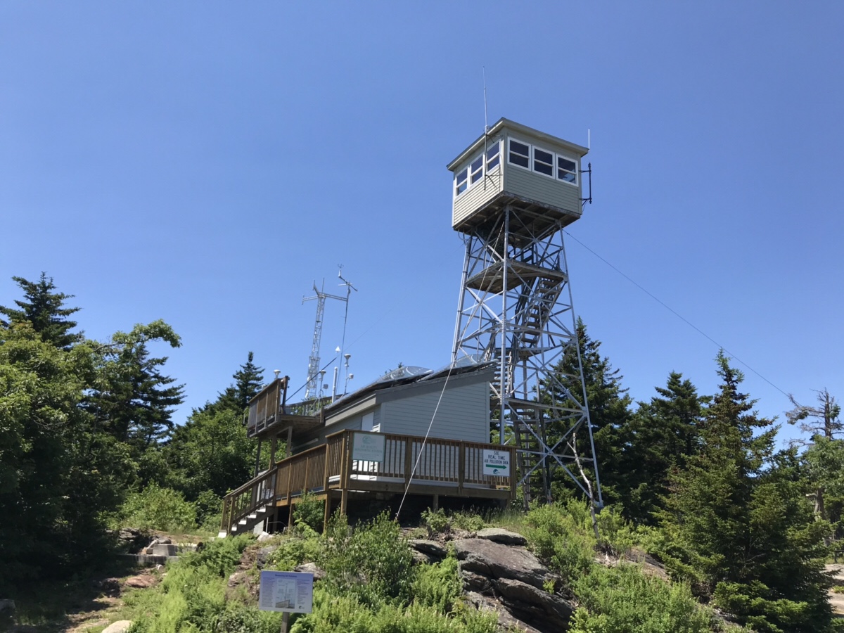
The last of the Belknap Range for my hiking series and probably one of the easiest to hike up if you wanted. At Gunstock Mountain there is a gravel road that goes straight up the front to access all of the towers on top of this mountain.
So instead you park on the back side of the mountain by the elementary school and hike from there.
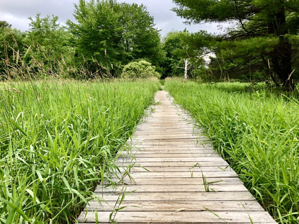
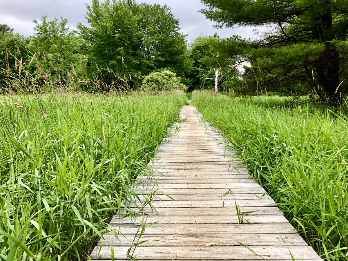
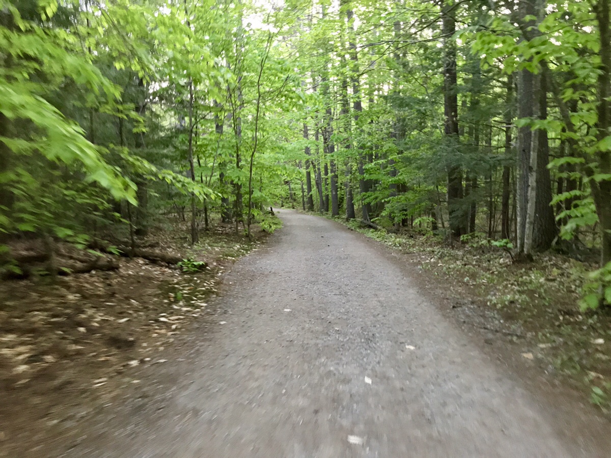
You start off on this very picturesque path and over a stream and start heading up the mountain. You have two choices, a yellow trail that goes straight up, or a blue trail that switchbacks many times to give you a more gradual climb. Since Cat hurt her ankle on our last climb and it still has not completely healed we opted to go for the more gradual climb.
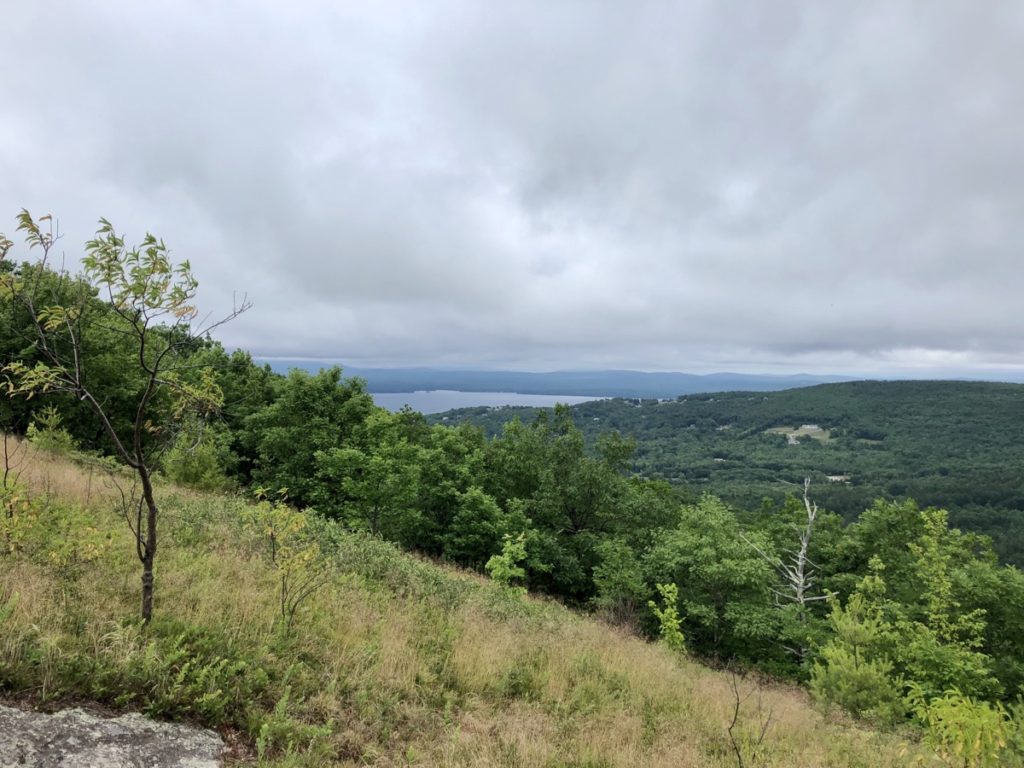
It was a nice pleasant hike with a few views nearing the top…
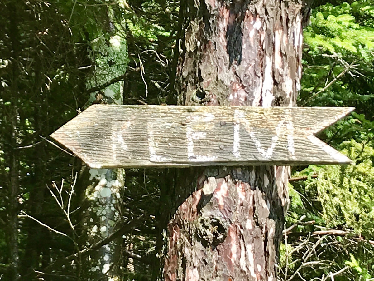
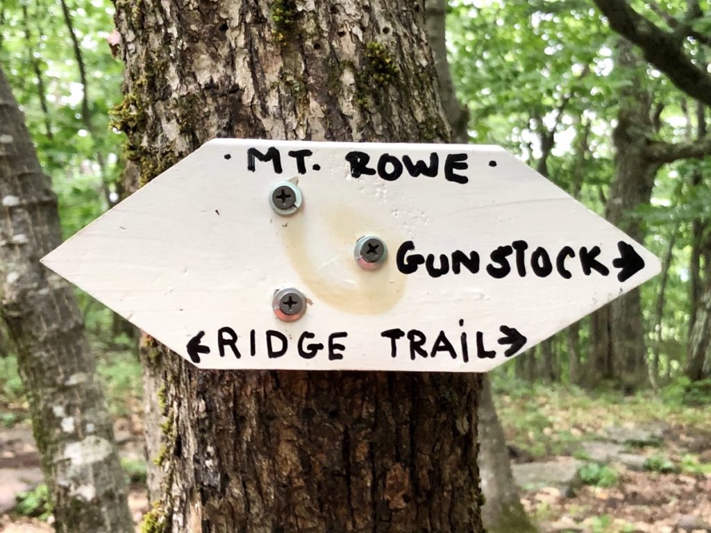
But the peak offered zero views. Just a sign that we had to look for.
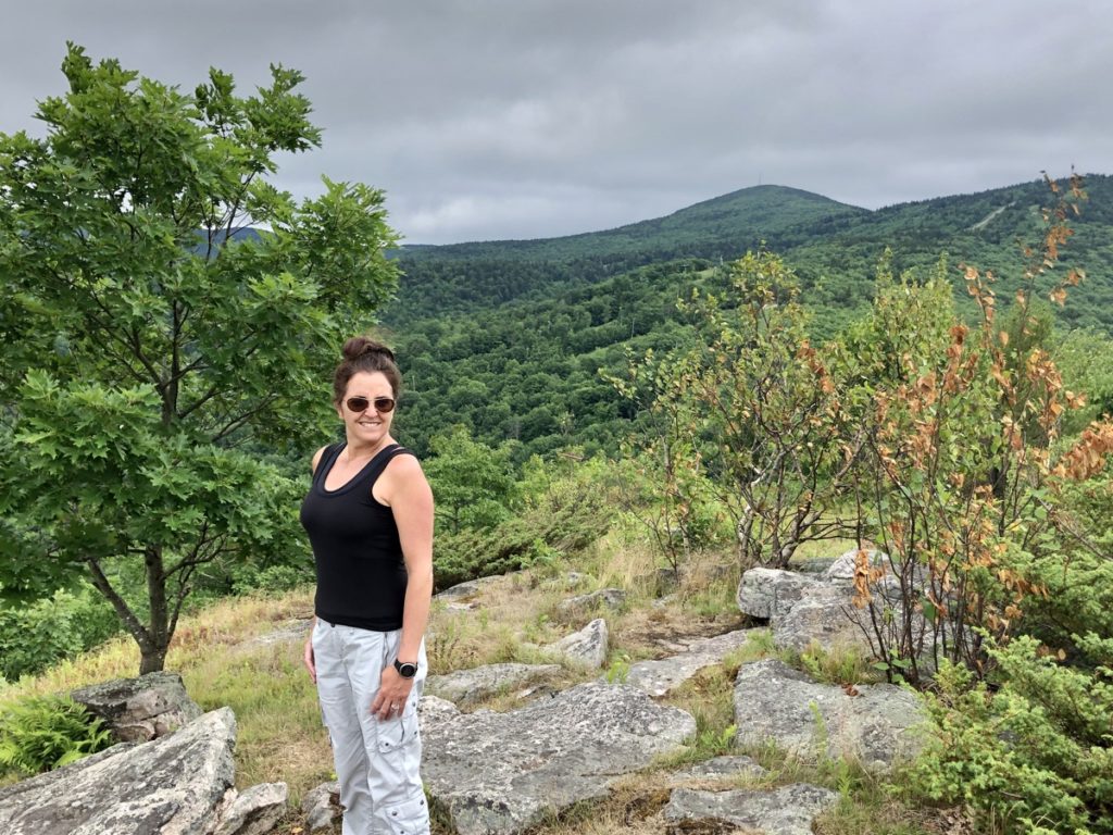
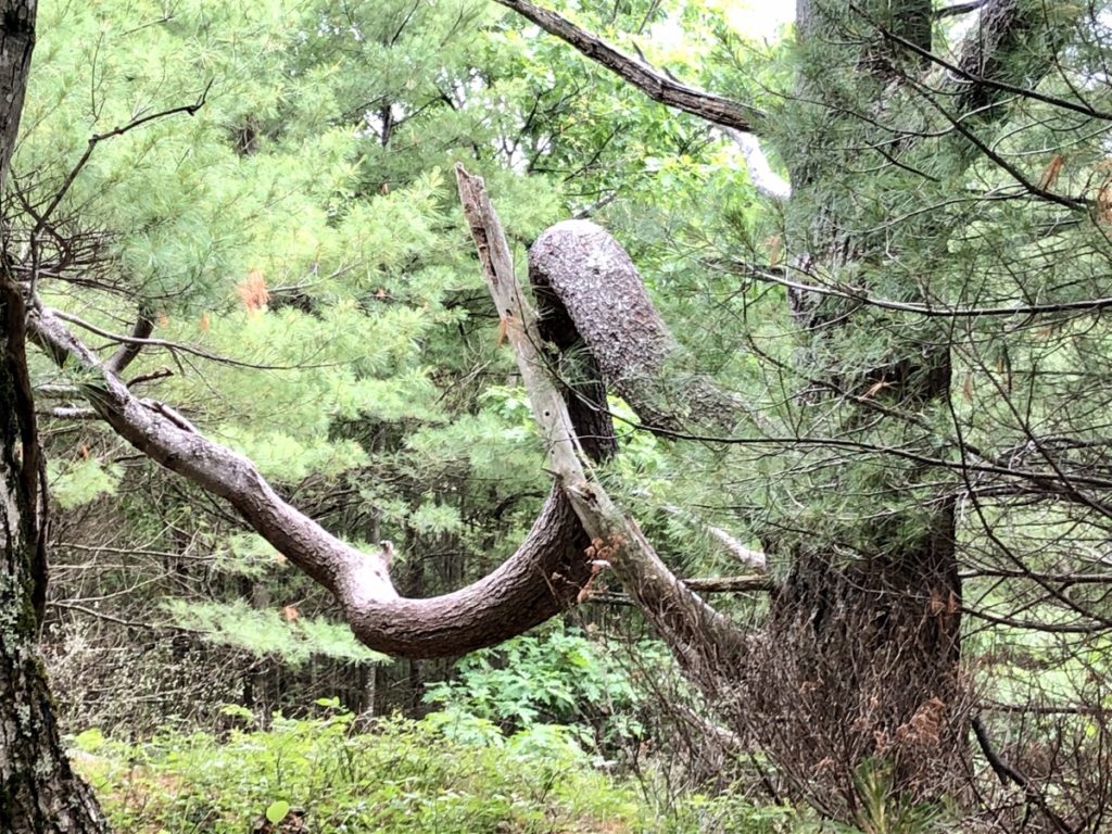
For those who desire some bonsai tree inspiration there is a tree 70% of the way up which you will see if you take either trail.
All in, it was a 2.5 hour round trip up and down with our stops. Overall an enjoyable hike.
