
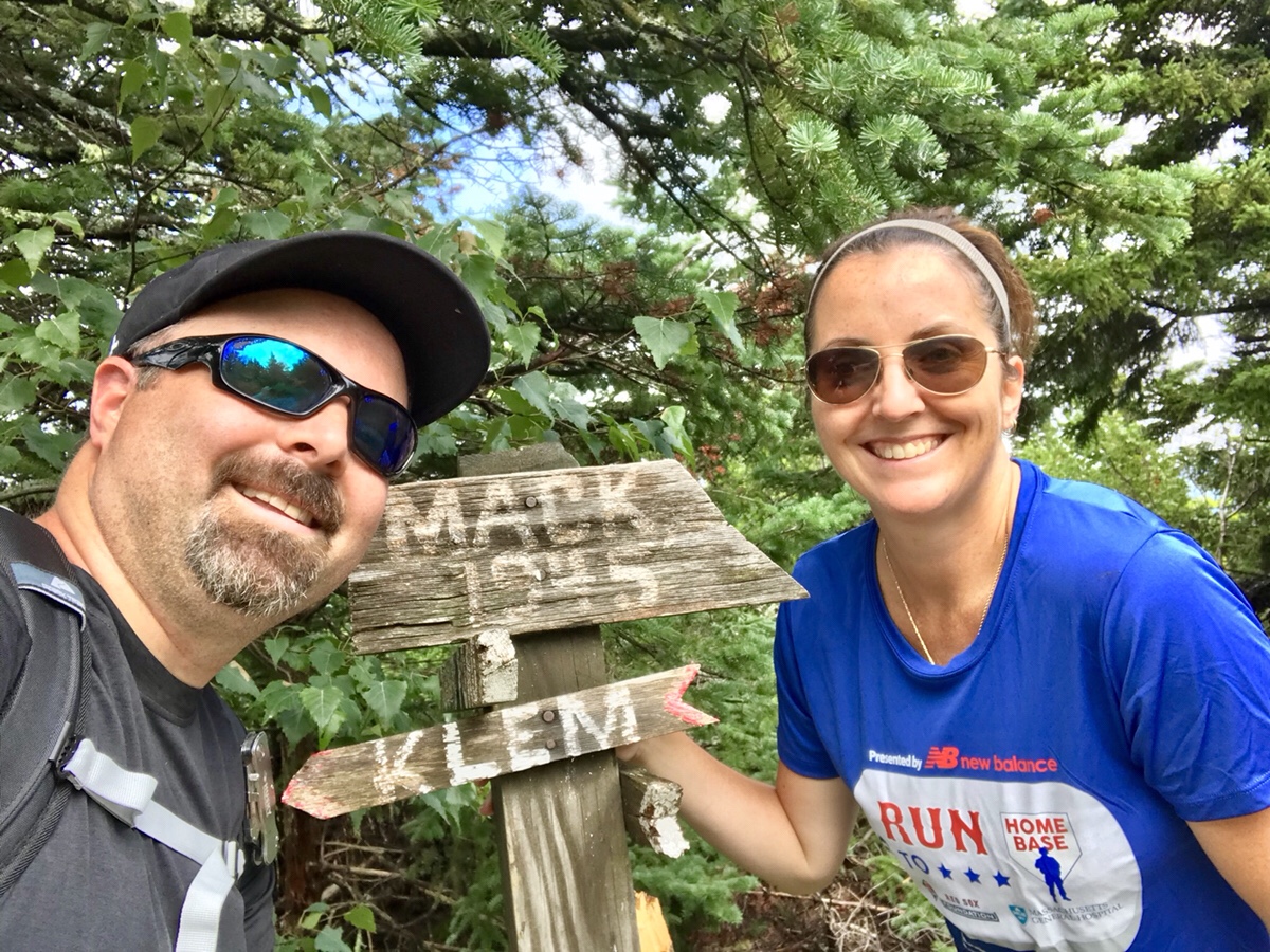
This weekend we were able to check two mountain tops off of our Belknap Range list: Mount Mack and Mount Klem.
We were able to do so by following 6.8 mile loop (I believe the maps say 6.5, but we clocked it in exactly at 6.8 due to some breaks and going around the water – which you’ll read about soon enough) that brought us out to an elevated mountain pond called Round Pond, climbed up Mount Mack, went over a col that brought us straight up Mount Klem to then returned us back to Round Pond again for a full circle.
It was roughly 1.5 miles and a 50 minute hike along a gravel road for most of the way until we hit a trail in the woods which would lead us to round pond.
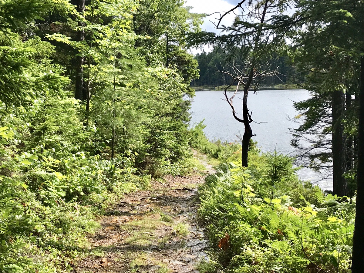
You need to understand that it had poured the prior day and all this morning and only started letting up around 2:00 when we began this adventure. We thought ahead and brought along extra clothes, socks, plenty of water and food for the trip. Even had some rain ponchos packed. We really expected to get soaked on the first leg of our hike, but as you can see, the sky cleared up seemingly just for us.
Since it was such a late start and a long trip to get around this loop, (roughly 4 to 5 hours of hiking) the entire afternoon we were the only people on the trail. We literally had two mountain tops to ourselves.
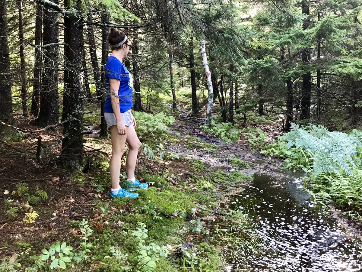
Now this was no easy idle hike today. Completely due to the heavy downpours the prior day and that morning. The trails in many spots looked like this:
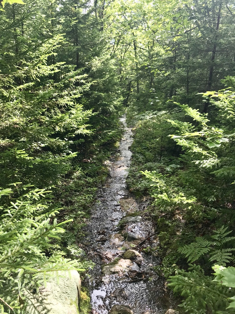
No, that is not a stream. That is actually the hiking trail. Many spots had standing water so deep you had to blaze your own trail through the woods keeping a careful eye on the actual trail as to not get too far off path.
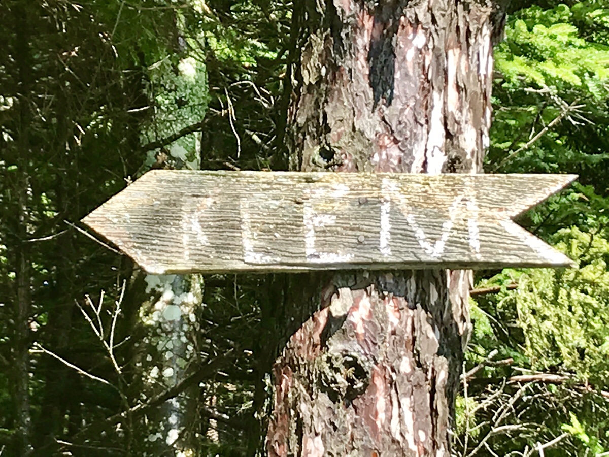
As you make your way around the pond you’ll come to a point where you will need to make a decision: Mack or Klem?
Since it is a loop, it doesn’t really matter which way. Either way will have you end right where you currently stand, but for whatever reason we chose Mack as your first mountain top of choice. It was the correct decision. When you come to this point, go Mack first. Trust me. Keep reading and you’ll see why.
Onward and up we go!
We head up Mack only to find that it is currently prime blueberry picking season
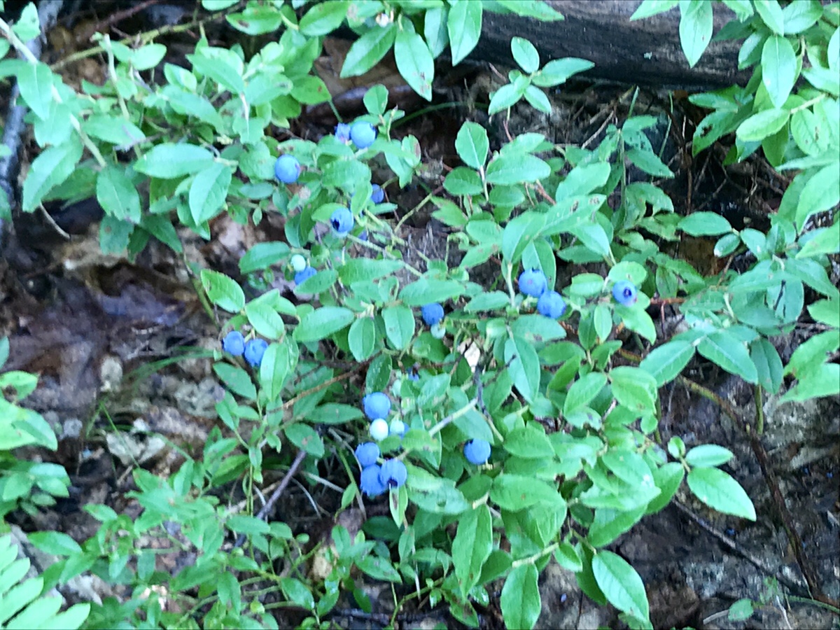
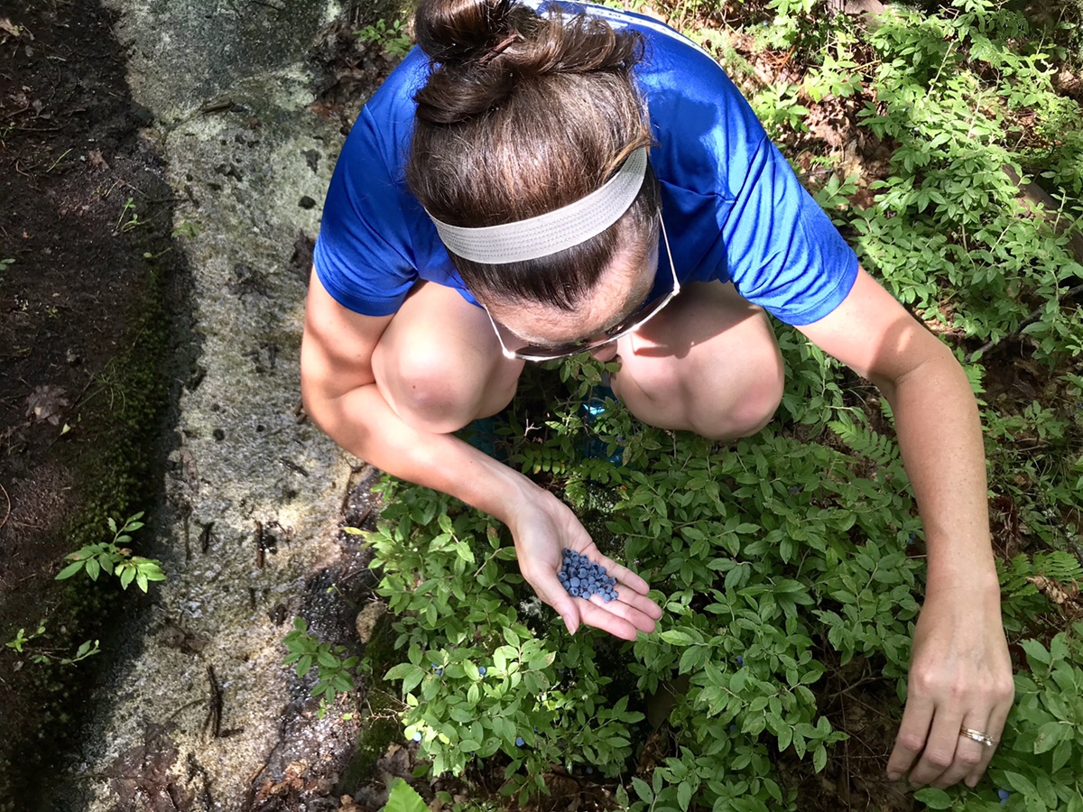
I’m not a huge blueberry fan, but the Mrs sure is, so anything I picked she quickly ate. Judging by the amount eaten, they were pretty tasty.
Near the top of Mack we were treated with a view of Belknap Mountain and Gunstock.
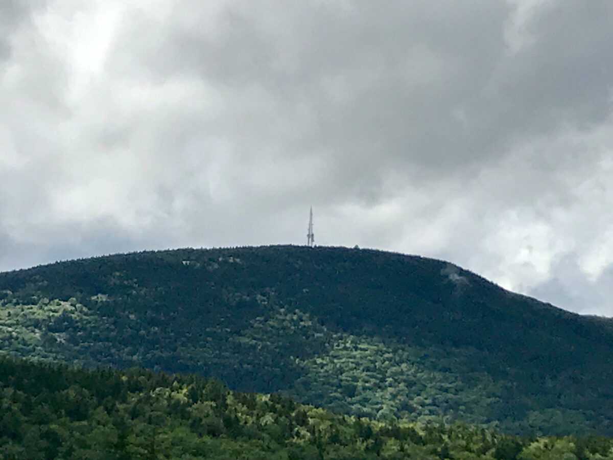
You can see the radio tower on top of Belknap and there is a slight “bump” to the right of that tower which is actually the fire tower we climbed on an earlier hike.
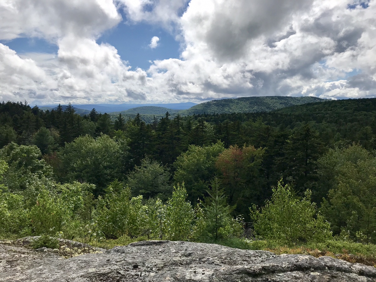
The view was pretty good all around

Not being at the top of Mack yet, we needed to keep going up
And farther on up until we reached the top of Mack
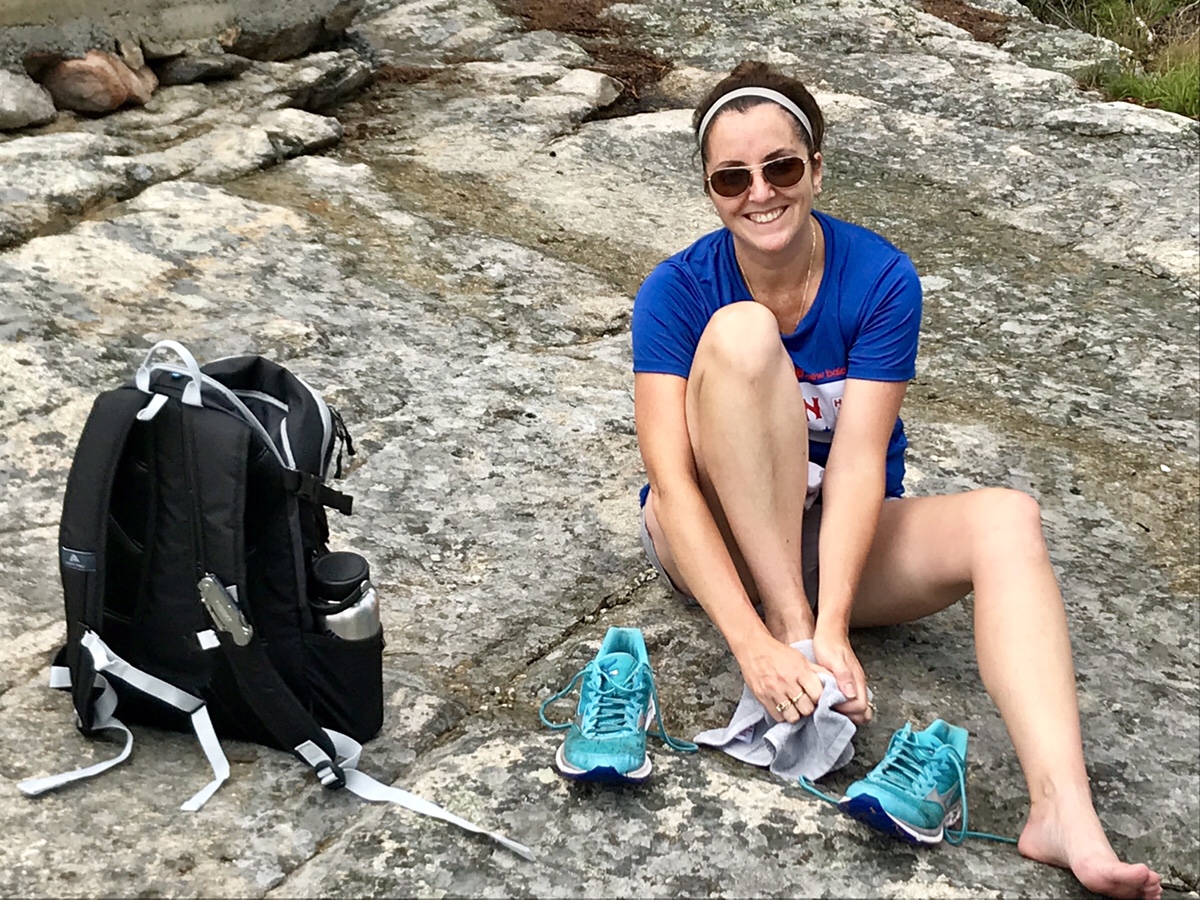
Just before the top of Mack there is a small radio tower, solar panel and transformer in a large green container. The rock there was a great spot to stop and change our socks since our feet were completely soaked
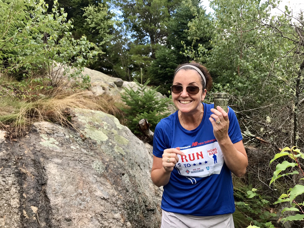
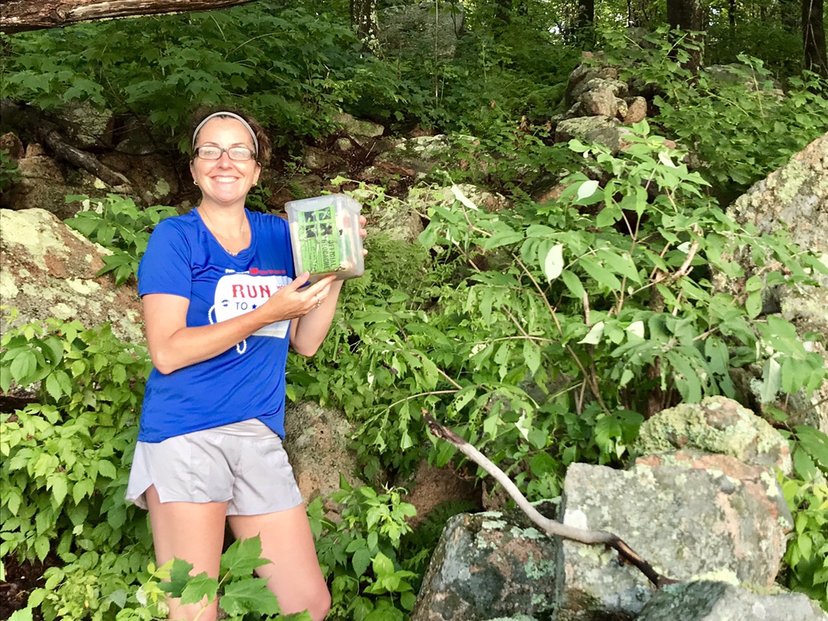
Also a quick stop for a Geocache!
After grabbing a quick drink and drying off, we were on the trail to Klem.
There was no view on the way to Klem and I kept the camera tucked away safely as we traversed the trails that were now definitely river beds. I’m sure these trails are perfectly fine after a dry week, but if you find yourself wanting to take this hike after a rainstorm, be prepared to bring many pairs of socks!!
After making our way up Klem we found out the only way to the actual peak was a simple out and back with a white dot to follow. We had to get to the peak, so off we went to find it.
We did find the top!
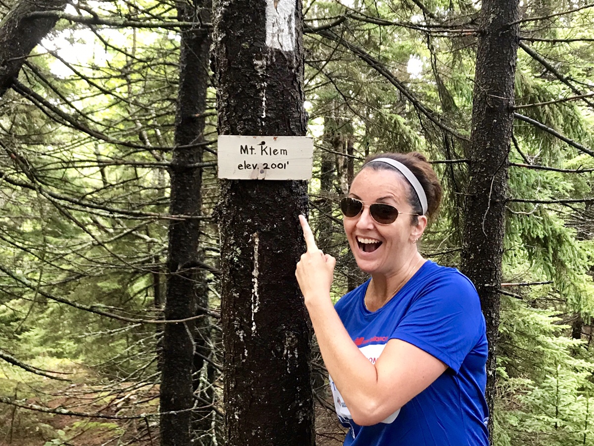
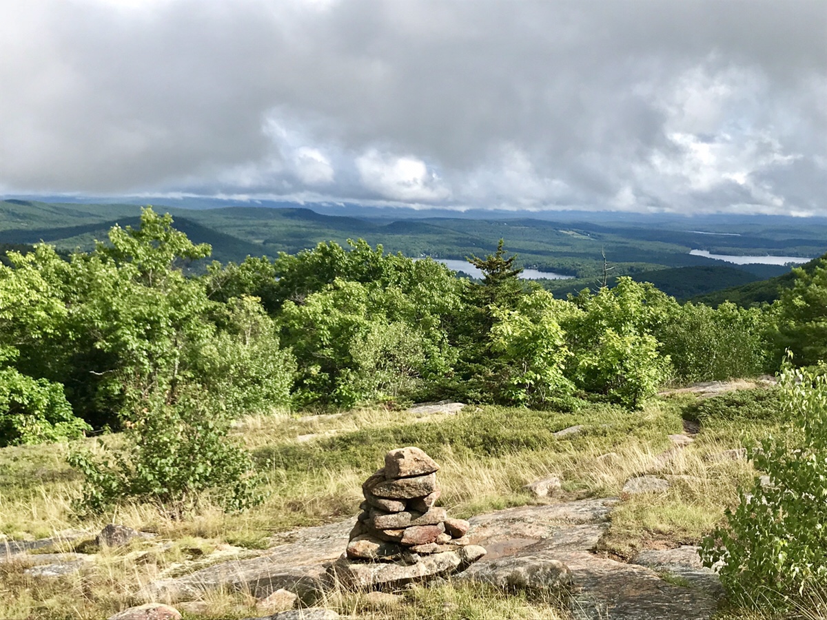
As you can see from the photo, the top is wooded so don’t expect a view. It may seem like a let-down, but start heading down Klem and you’ll be greeted with this:
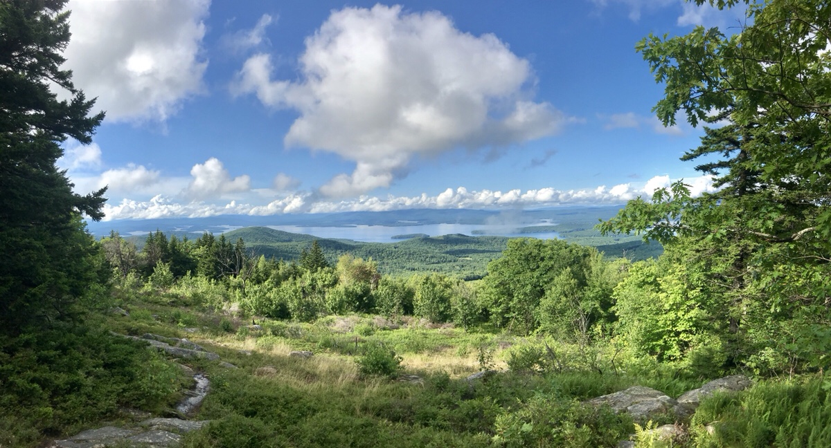
An amazing view overlooking Winnipesaukee!
Did I say a great view?
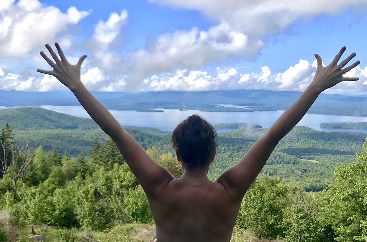
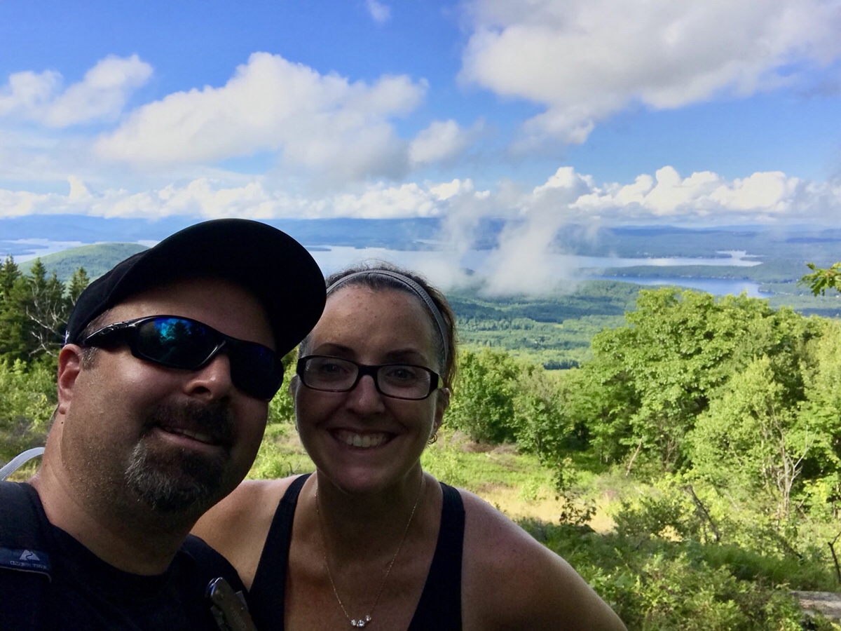
After being fairly exhausted from our long hike and roughly 3 hours into the trip, finding this view without expecting it was a real treat!
You can still see some of the low rolling clouds below us.
We had to head back down…
Yes, this is our trail today.
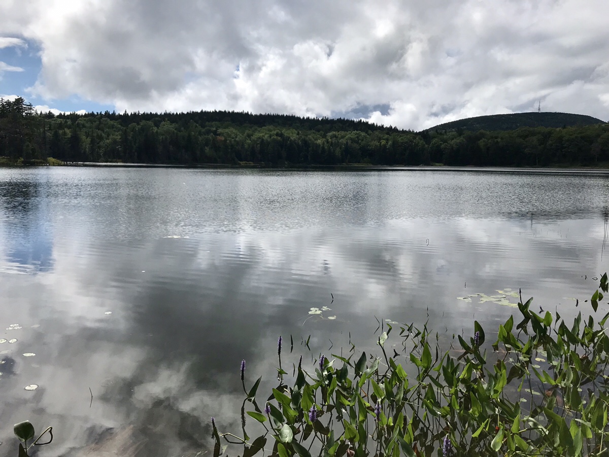
We finally did make our way back to Round Pond which is located over 1600 feet in elevation. A true mountain pond. Found one more Geocache too!
Following the trail back down to the truck, we finished our hike. 4.5 hours, 6.8 miles and a few pairs of socks! It’s a great hike and a wonderful way to spend the afternoon!


